
Description
What our GPS Satellites STEM lesson plan includes
Lesson Objectives and Overview: GPS Satellites STEM explores the history and use of global positioning systems. Students will discover how GSP works and relate its use to their daily experiences. They will also learn how other people utilize this helpful technology. This lesson is for students in 4th grade, 5th grade, and 6th grade.
Classroom Procedure
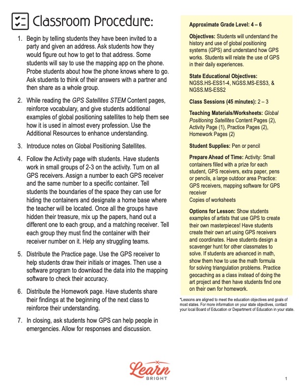
Every lesson plan provides you with a classroom procedure page that outlines a step-by-step guide to follow. You do not have to follow the guide exactly. The guide helps you organize the lesson and details when to hand out worksheets. It also lists information in the yellow box that you might find useful. You will find the lesson objectives, state standards, and number of class sessions the lesson should take to complete in this area. In addition, it describes the supplies you will need as well as what and how you need to prepare beforehand. This lesson requires some preparation for both the activity and practice worksheets. You will need small containers with prizes, GPS receivers, extra paper, pens or pencils, and a large outdoor area for the activity. For the practice worksheet, you will need to provide GPS receivers and mapping software for them.
Options for Lesson
There are several suggestions for additional activities and ideas in the “Options for Lesson” section of the classroom procedure page. Show students examples of artists who use GPS to create their masterpieces. Students could also create their own art using GPS receivers and coordinates. Another option is for students to design a scavenger hunt for fellow classmates to solve. If your students are advanced in math, show them how to use a math formula to solve triangulation problems. One more idea is to practice geocaching as a class instead of doing the art project and have students find one on their own as a homework assignment.
Teacher Notes
The teacher notes page provides an extra paragraph of information to help guide the lesson and remind you what to focus on. The blank lines on this page are available for you to write out thoughts and ideas you have as you prepare the lesson.
GPS SATELLITES STEM LESSON PLAN CONTENT PAGES
History
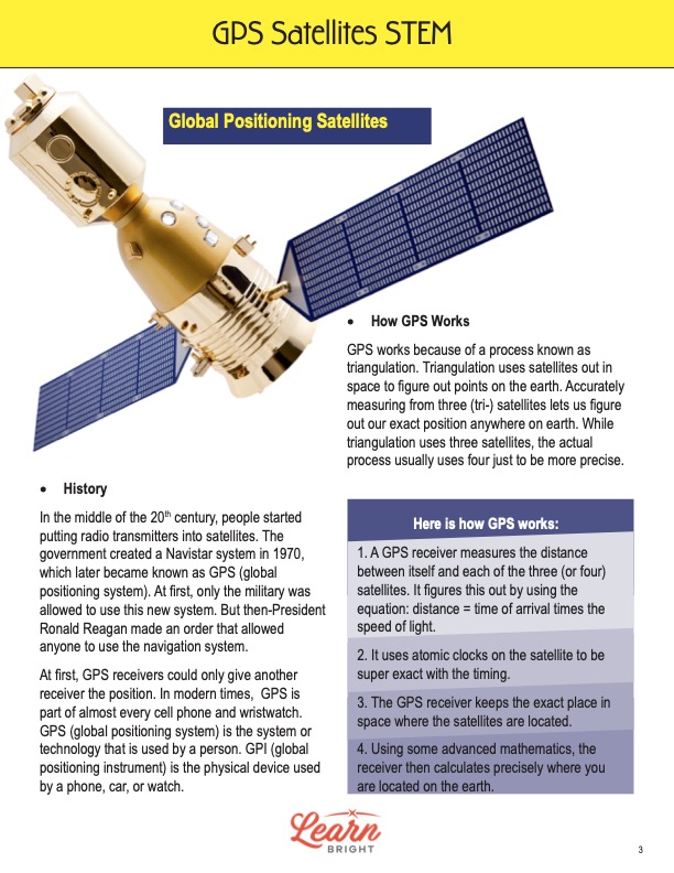
The GPS Satellites STEM lesson plan contains two pages of content. Students will first learn about the history behind the technology. In the middle of the 20th century, people began putting radio transmitters into satellites. The government created a Navistar system in 1970. This is what later became the global positioning system, or GPS.
Initially, only military personnel were allowed to use the new system. Then-President Ronald Reagan, however, decided to allow anyone to use the navigation system. At first, GPS receivers could only provide position coordinates to other receivers. In modern times, however, GPS is part of almost every cell phone and wristwatch.
There is a difference between a GPS and a GPI. The global positioning system is the technology that people use. The GPI, on the other hand, is the global positioning instrument. This is the actual physical device that a phone, car, or watch uses in order to make the GPS work.
How It Works
A GPS works because of a process called triangulation. Triangulation uses satellites in outer space to figure out specific points on the Earth. Accurately measuring from three satellites allows us to determine our exact position anywhere on Earth. While triangulation requires three satellites, the actual process usually uses four to ensure a more precise reading.
The lesson lists the steps that explain how global positioning systems work. First, a GPS receiver measures the distance between itself and each of three or four satellites. It figures this out by using the following equation: distance = time of arrival x the speed of light. Next, it uses atomic clocks on the satellite to be super exact with the timing.
Then the GPS receiver keeps the exact place in space where the satellites are located. Finally, the receiver calculates precisely where you are on the Earth. To do this requires some pretty advanced mathematics, which this lesson does not cover.
How to Use a GPS
There are some professions that require the use of GPS every day. These include surveyors, boat captains, pilots, miners, construction workers, trucking companies, and security guards. First responders also have to use GPS every day. Whenever a natural disaster strikes an area, first responders use GPS to track the weather, map the area, and figure out where people are.
Parents and kids also use GPS quite often. Parents use it in their car to find their way to new addresses. Kids often use it when they play games like Pokémon Go or want to find hidden treasures with geocaching. In fact, there are lots of game and activity apps on our phones that use a global positioning system.
There are five main uses of GPS. The first is, unsurprisingly, location. GPS helps people determine their position on the Earth. The second is navigation, which helps us get from one location to another. Third is tracking. Tracking allows people to see where other people or objects are moving. Mapping is another use. GPS can help people create an accurate map of the world. Finally, it helps with timing because it allows people to take very precise measurements of time.
GPS SATELLITES STEM LESSON PLAN WORKSHEETS
The GPS Satellites STEM lesson plan includes three worksheets: an activity worksheet, a practice worksheet, and a homework assignment. Each one will reinforce students’ comprehension of lesson material in different ways and help them demonstrate when they learned. Use the guidelines on the classroom procedure page to determine when to distribute each worksheet to the class.
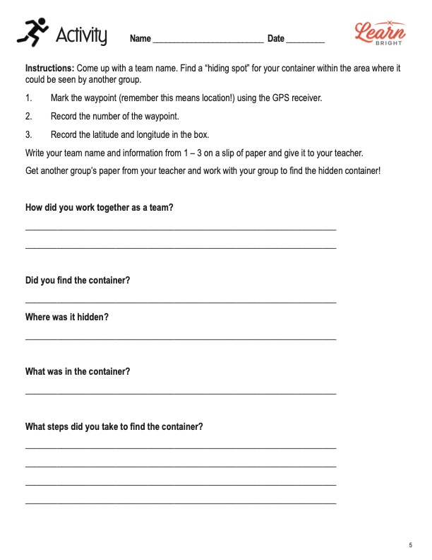
TEAM SCAVENGER HUNT ACTIVITY WORKSHEET
Students will work in small groups for this activity. After coming up with a team name, they will find a hiding spot for their container within an area that another team can see. They will first mark the waypoint using the GPS receiver. Next, they will record the number of the waypoint and the latitude and longitude in the box.
Students will then write their team name and information from steps 1 to 3 on a slip of paper to give to you. You will then give each group another group’s information. The students will then work with their teams to find the hidden containers according to the information on the paper. Once everyone has completed this portion, students will respond to five prompts on the worksheet that relate to their experience.
GPS ART CREATION PRACTICE WORKSHEET
For the practice worksheet, students will create a piece of artwork using a GPS satellite. In the box at the top of the page, they will sketch their initials or a short word, as well as any directions they need to follow. Next, they will create their art using their GPS unit. After they have viewed their art, they will answer the four questions at the bottom of the page.
GPS SATELLITES STEM HOMEWORK ASSIGNMENT
The homework assignment requires students to go geocaching to find hidden treasures. Students will first download a geocaching app on their phone or a parent’s phone to find a nearby location. After they find the treasure, they will answer a series of prompts on the homework page.
Worksheet Answer Keys
There are answer keys for the practice and homework worksheets in the lesson plan document. However, students’ responses will vary for both assignments, so there are no actual answers on these pages for this lesson plan. If you choose to administer the lesson pages to your students via PDF, you could save a new file that omits these pages.